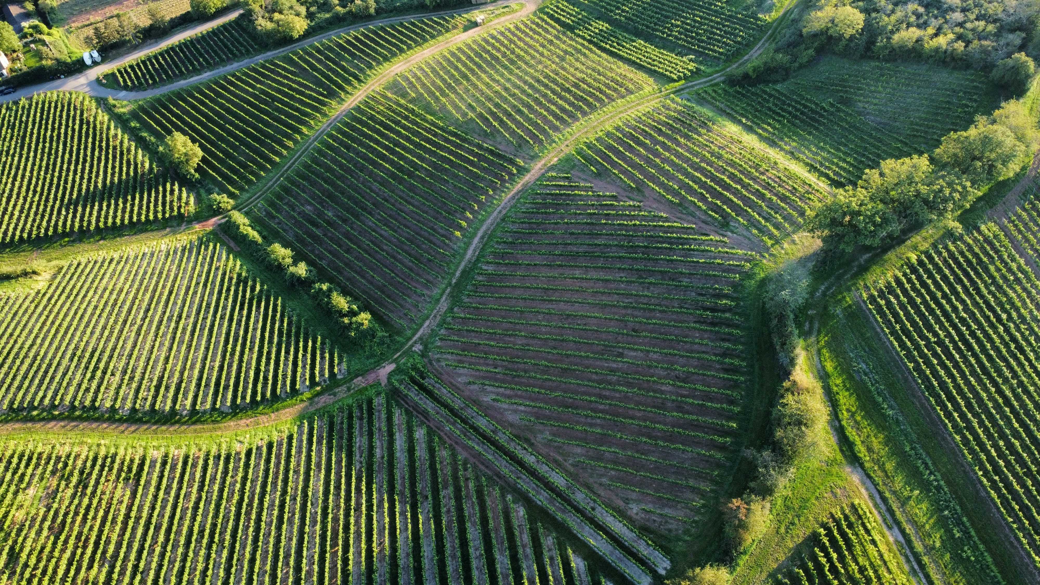

What drone surveys will add: what the eye cannot see, weeks before it matters.
Drone surveying is in development, built with our partner farms, and is not available yet. Drone flights through the growing season will capture multispectral, thermal and high-resolution visual data at every key phenological stage, revealing vine stress and disease pressure long before they show in the canopy, and irrigation gaps on vineyards with an automated irrigation system.
Each survey will run through the Aura AI platform, which will flag anomalies, compare the picture against previous seasons, and turn the imagery into block-level recommendations soon after each flight.
How Aura AI will use drone survey data
-
Surveys planned around your season.
Flights will be scheduled at the key phenological stages: bud break, flowering, veraison and harvest. Drone flights in Italy need authorisation from the Italian civil aviation authority (ENAC), and securing it is part of the work we are doing before launch.
-
Layered data in every flight.
Each survey will capture multispectral (NDVI), thermal and high-resolution visual imagery in a single pass, building a complete picture of vine vigour and canopy health, and of irrigation uniformity where an automated irrigation system is installed.
-
Imagery turned into recommendations.
All imagery will flow through the Aura AI platform, which will identify patterns, flag anomalies and produce block-level recommendations soon after each flight.
Whole-vineyard intelligence at every key growth stage, when drone surveying launches.
What drone surveys will offer
-
Multispectral imaging
NDVI analysis, vine vigour mapping, growth pattern identification, variability assessment, and block performance comparison.
-
Thermal imaging
Disease hotspot detection and temperature variation mapping, plus irrigation uniformity assessment and leak identification for vineyards with an automated irrigation system.
-
High-resolution visual
Canopy development tracking, missing vine documentation, weed pressure assessment, physical damage identification, and a visual timeline of vineyard development.
-
Plant health assessment
Early disease detection, nutritional deficiency identification, pest pressure mapping, growth abnormalities, and recovery monitoring after interventions.
-
Periodic monitoring
Key growth stage surveys, monthly development tracking, custom scheduling based on vineyard needs, rapid response capabilities during critical periods, and year-on-year comparison reporting.
Benefits
-
Early detection
You will identify issues weeks before they become visible to the human eye.
-
Whole-vineyard perspective
You will gain consistent oversight of large areas in a single pass.
-
Objective assessment
Subjective observation will give way to quantifiable measurement.
-
Targeted intervention
Resources will go precisely where they are needed.
-
Historical record
You will build a visual record of vineyard development across seasons.
-
Harvest planning
Canopy analysis from the air will feed the yield forecasting we are developing.
-
Treatment effectiveness
The impact of management practices will be objectively assessed.
Frequently asked questions
How often will you fly?
We expect to fly at the key growth stages (bud break, flowering, veraison, pre-harvest), with extra surveys at critical moments, tailored to each vineyard. Drone surveying is in development and not yet available.
Will the drones disturb my vines or my team?
Flights will be quick, scheduled in advance and planned to avoid peak vineyard activity. We expect them to be less disruptive than a ground inspection of the same area.
Will permissions be needed?
Yes. Drone operations in Italy are regulated by ENAC, the Italian civil aviation authority. We will obtain the necessary authorisations before we offer drone surveys, and will handle any local airspace coordination as part of the service.
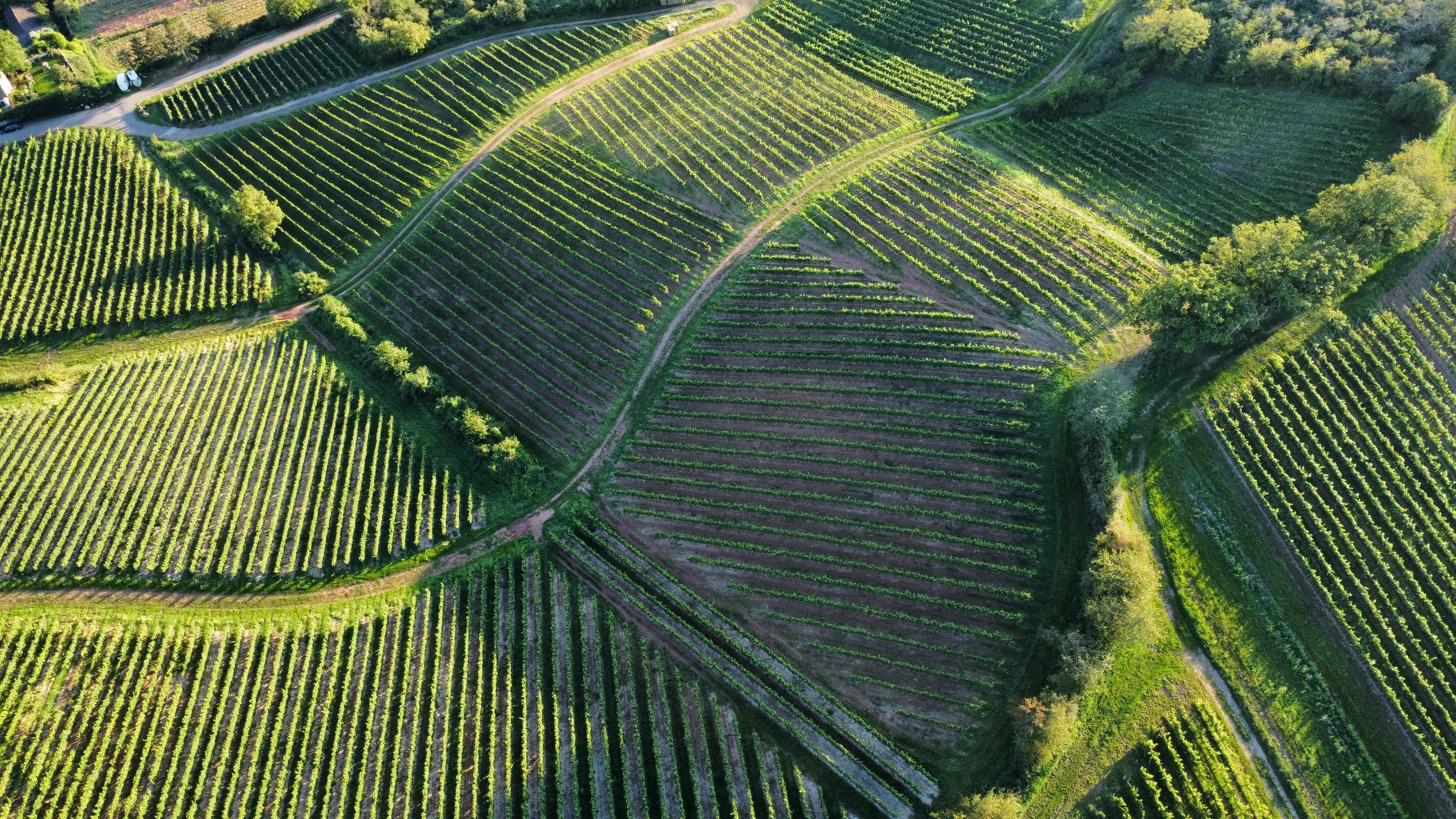
Questions about your vineyard?
Tell us about your vineyard and the decisions you make each season. We will explain what Aura can do for you and answer your questions.
Talk to us